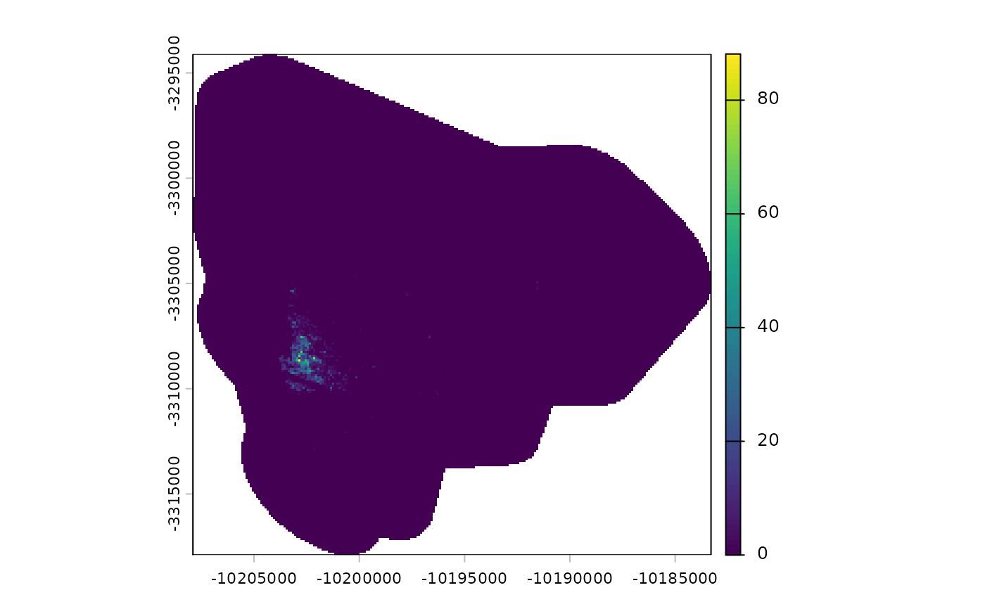
Download gridded population or settlement data from the Global Human Settlement Layer (GHSL) project.
Arguments
- id
An ID string in the format
"Ry_Cx"whereyis the cell number along the y-axis and x is the cell number along the x-axis. The exact IDs can be looked up on the download page.- product
Name of the requested data product. Defaults to the GHS population grid.
- year
Reference year of the requested population grid. Available years start from 1975 in intervals of roughly 5 years. Not all years are available for all products.
- resolution
Raster cell size. Can be one of 2, 10, 100 or 1000 meters.
- path
Path that the selected tif file should be downloaded to. If
NULL, the raster data is handled directly byrastand stored in a temporary directory.
Value
Either returns a path (if path is provided) or an object of
class SpatRaster containing the exported data.
See also
wp_data for retrieving data from WorldPop
gisco_get_grid for retrieving data from Geostat