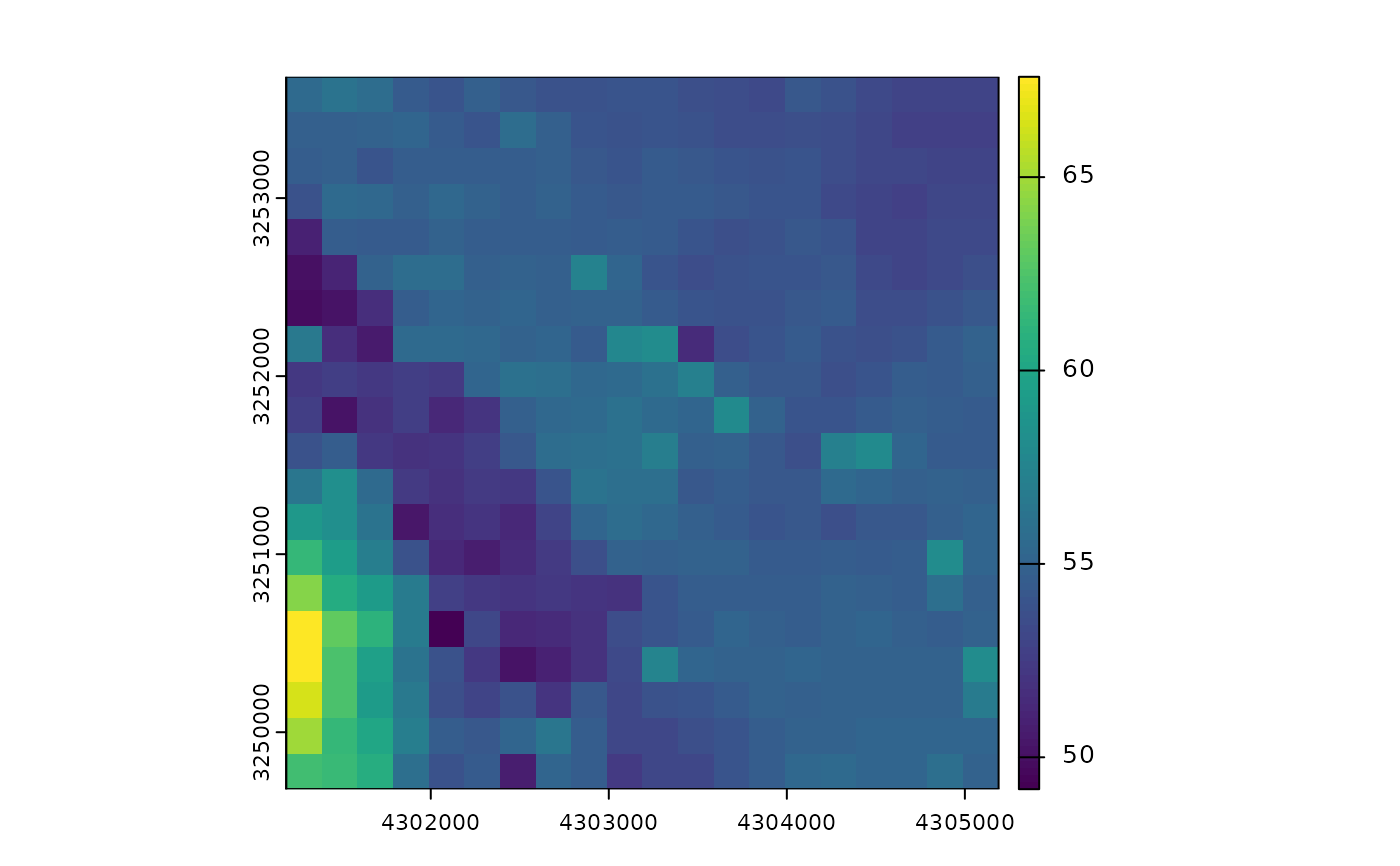
Retrieve the digital elevation model (DEM) for the territory of Germany.
This function interfaces the wcs_dgm200_inspire product of the BKG.
Arguments
- bbox
An sf geometry or a boundary box vector of the format
c(xmin, ymin, xmax, ymax). Used as a geometric filter to mask the coverage raster. If an sf geometry is provided, coordinates are automatically transformed to ESPG:25832 (the default CRS), otherwise they are expected to be in EPSG:25832.- interpolation
Interpolation method to preprocess the raster. Can be
"nearest-neighbor","linear", or"cubic". Does not seem to work currently - despite being listed as a capability of the WCS.- epsg
An EPSG code specifying a coordinate reference system of the output. If you're unsure what this means, try running
sf::st_crs(...)$epsgon a spatial object that you are working with. Defaults to 3035.
Value
A SpatRaster containing elevation data.

